I sat in Idyllwild for two weeks, filling each day with physical therapy exercises, short walks, heating pad treatments and chats with my host families. I tried to be patient, giving my ankle the time it needed to rest.


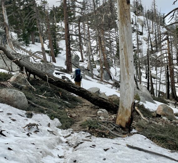
But after two weeks, I wrapped it up tight and decided to head out again- this time on an alternate route around the San Jacinto Mountains. My fall up in the snow along the ridge had caused my delay, so I was now happy to do what the vast majority of other hikers had done in the first place: walk up the snow-free Black Mountain road from outside of Idyllwild to meet up with the PCT at a lower point on the flank of the mountain. I thought this meant I was going to have an easier trek. Ha!
The San Jacinto Mountains weren’t done with me yet. The 8-mile road walk was fine, much prettier than I expected, and I befriended some other hikers on the way.


We met up with the PCT at elevation 7,659. Because we had cut off some of the PCT at higher elevations, we only had 19 long miles of switchbacks plunging down, down, down the north face of the mountain all the way to 1,300 feet at the crossing of California’s I-10 / San Gregonio Pass.


Down, you say, isn’t so bad. Yes it is! Newly sprained ankles and middle-aged knees are not a fan of this terrain. It was a long and painful descent. Luckily, I had lots of beautiful views to keep me entertained along the way.
According to my PCT guidebook, this specific 6,300 foot descent is biologically rich and includes all of the plant communities found in California, except the upper alpine. I kept my eyes peeled for new plant sightings, and rattlesnakes, at every level along the way.


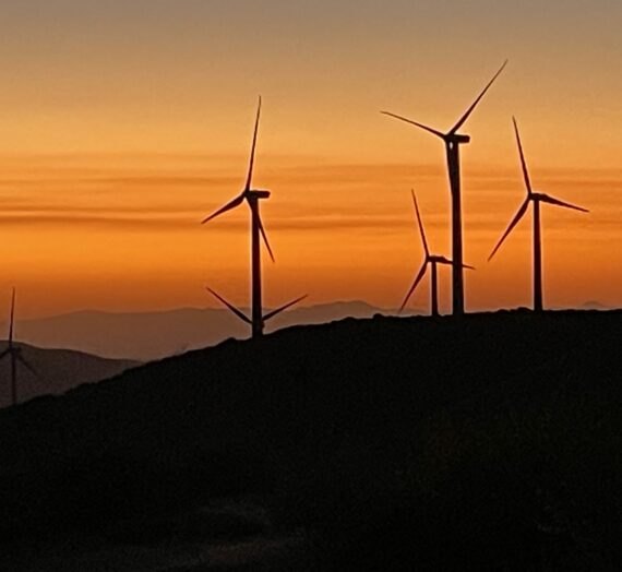
After many miles, and crossing our 200 mile mark, I couldn’t take another step. I camped on this very windy ledge overlooking the Mesa Wind Farm below.


The next day, I completed the descent and then had the final three miles to cross a very windy and sandy plain.


Finally, the famous underpass at I-10 came into view.


This is a hiker haven, complete with some water and snacks provided for the hikers by local Trail Angels.


I found some names of previous trail friends who had passed this way before me. I added my name to the poster and headed back out into the desert.


But this time, I accepted the fact that my ankle needed more time to rest. I had already arranged a ride to the next town – Big Bear Lake- for a few more days to recuperate.


