
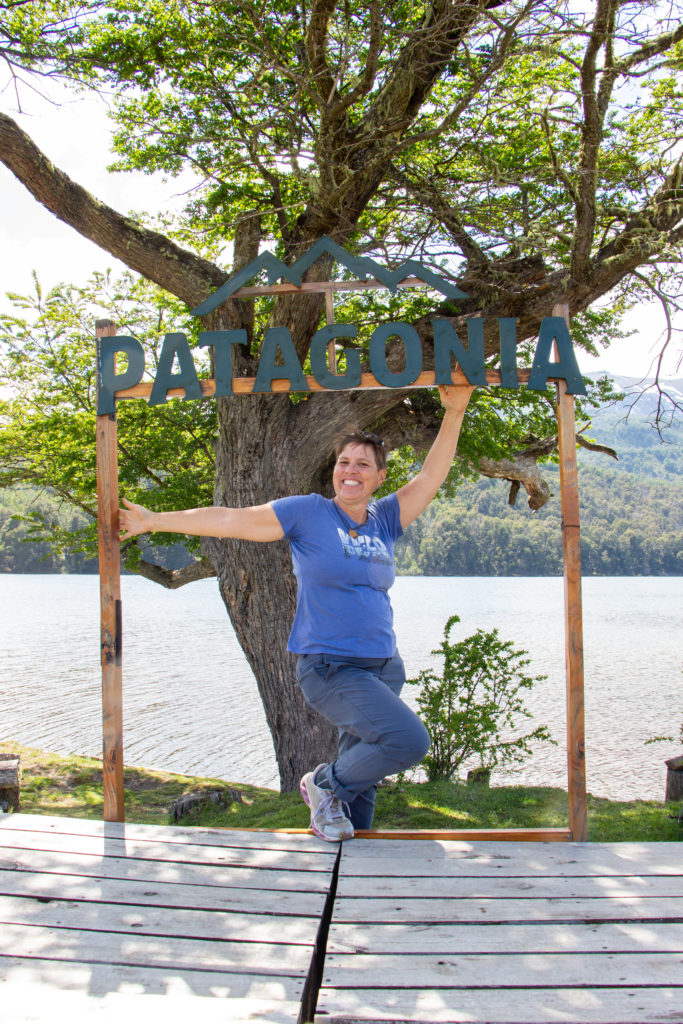
Traveling south into the Lakes District of Argentina was a momentous occasion for me … it meant that I had crossed the 37th degree south latitude and finally reached the land of my dreams, Patagonia. For my welcome, the beautiful Lakes District opened itself to me immediately, and I fell in love.
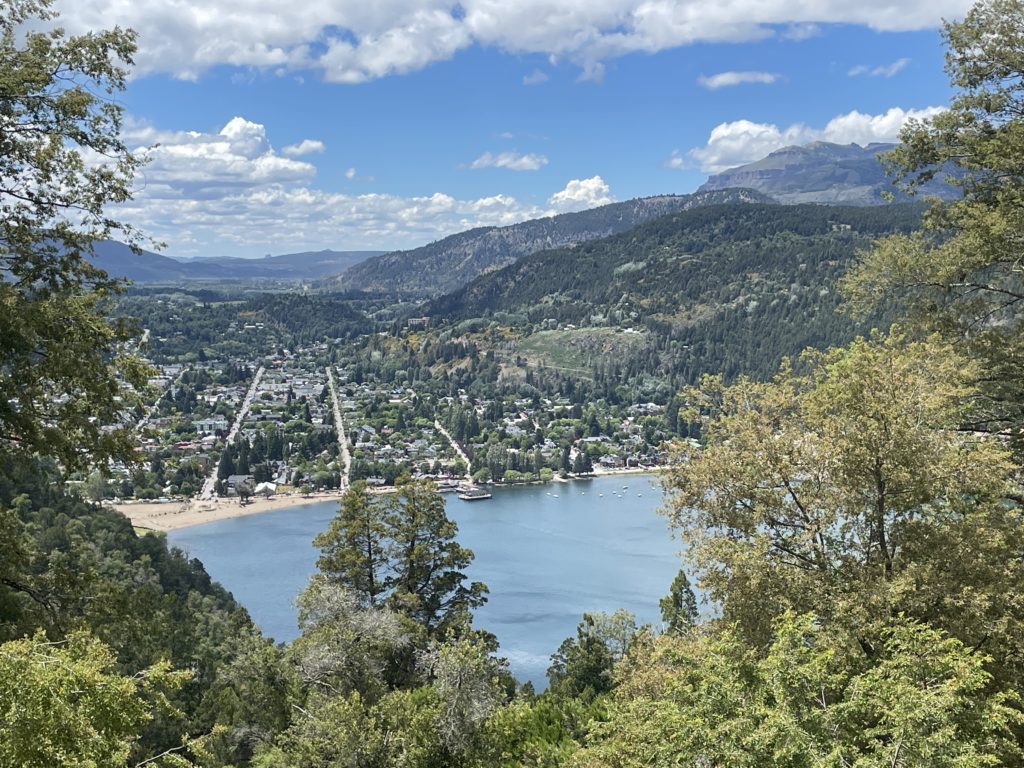
The Lakes District straddles the border between Argentina and Chile for 900 miles from north to south and is made up of snowcapped volcanos, ancient forests, mountain villages and an uncountable number of blue, blue lakes. I can’t even imagine the amount of glaciation and volcanic activity that occurred to create this amazing place. For seven weeks, in between my volunteer work hours, I made the most of my time and explored it all thoroughly. And every day, around every corner, there was a new site to take my breath away!
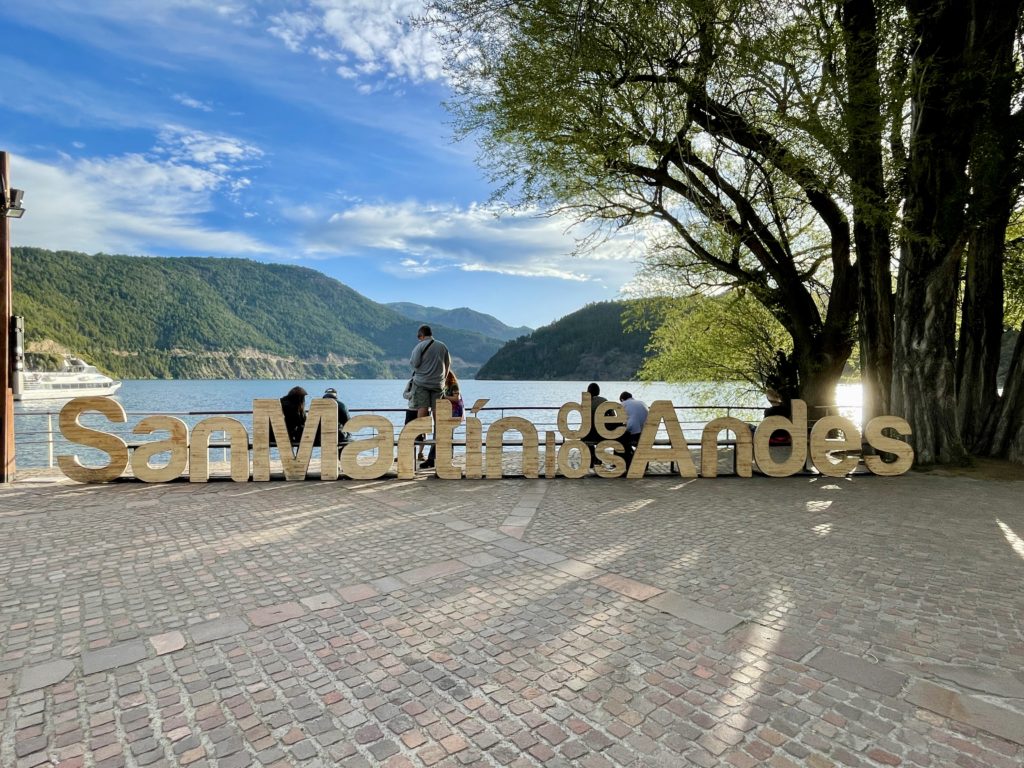
In my first week, when I was on a two-day break from my volunteer experience in Villa Lago Meliquina, I was enjoying the lakeside touristy town of San Martín de Los Andes. At that moment, I was wishing there was an easy way to see the other nearby lakes. Buses just don’t stop along the highway for you to take pictures!
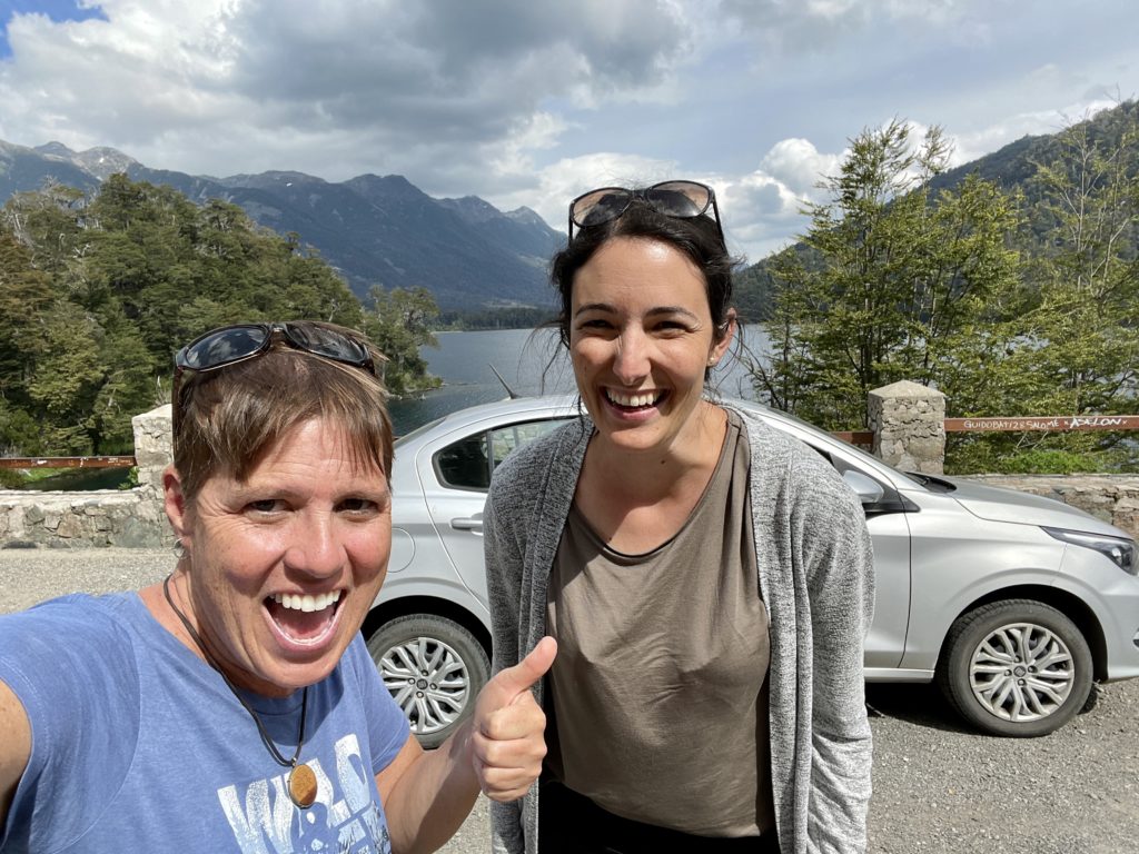
Suddenly, I received a text from a woman I had met a few weeks earlier in a hostel. I had given her my number in case she was coming to the Lakes District too. And here she was, in the same town, for the same weekend, looking for something to do. It didn’t take us long to decide that splitting a car-rental together would be a great way to see the sites! So, Selina from Switzerland agreed to meet me the next morning at the car rental agency.
When we sat ourselves down in front of the agent, Selina let me know that she would be more comfortable if I drove. No problem, I thought. So, I handed over my credit card, signed my life away about 18 times, and the agent took us out to inspect the car. Then I sat in the driver’s seat.
“There’s three pedals?, I said. In my country, I don’t drive cars with three pedals! What are they for?”
The agent stammered, watching the horror on my face, and then the lightbulb. I had just rented a manual car. I hadn’t driven a manual in almost 30 years. I hoped I wouldn’t have to pay for a new transmission at the end of the day! All I could do was laugh.
Luckily, that little Fiat was incredibly smooth and forgiving in its gear changes, and we all – Selina, the car and I – had a great day together!
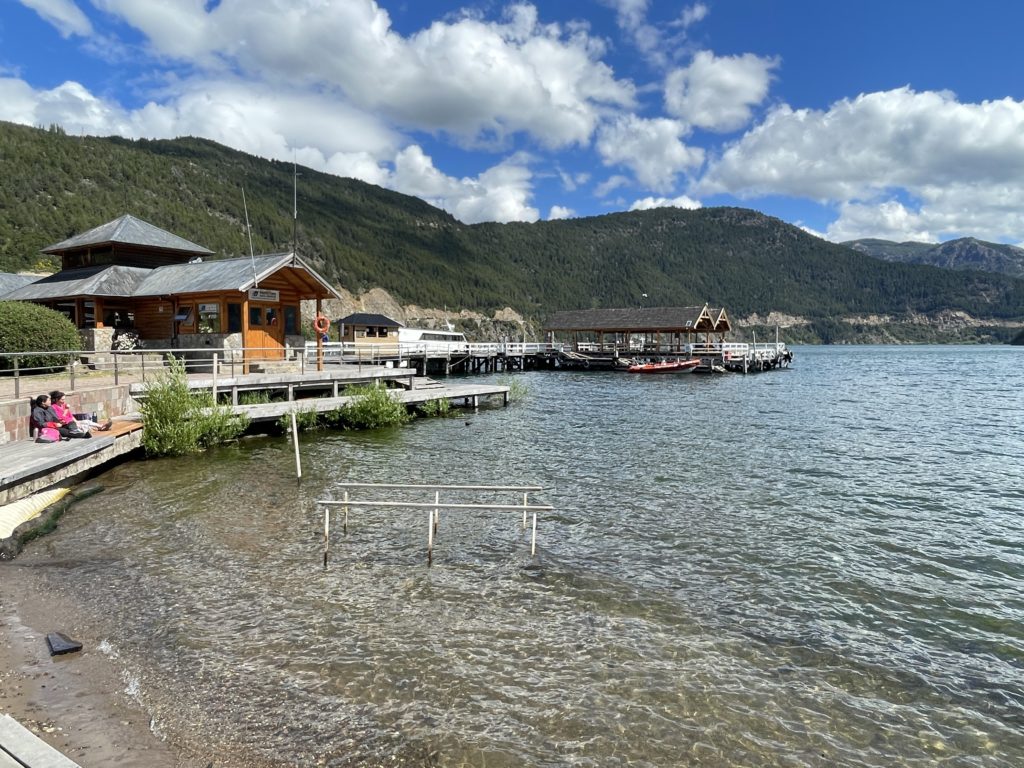
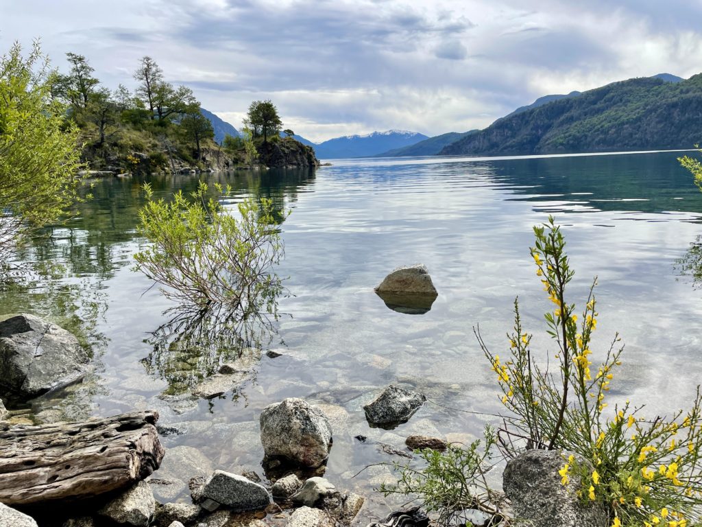
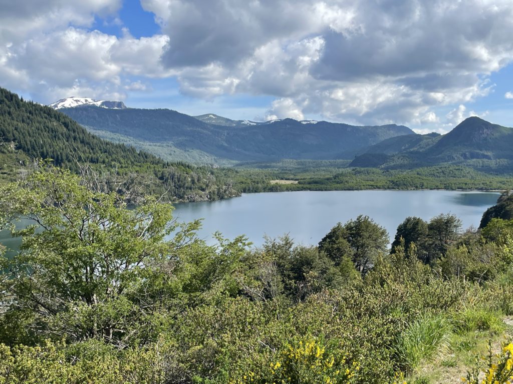
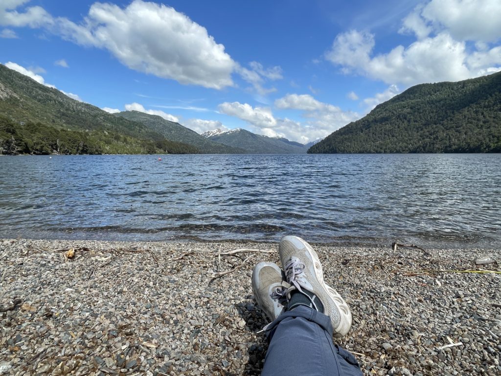
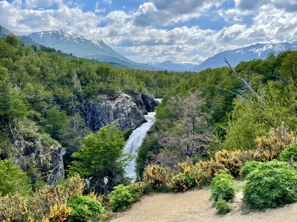
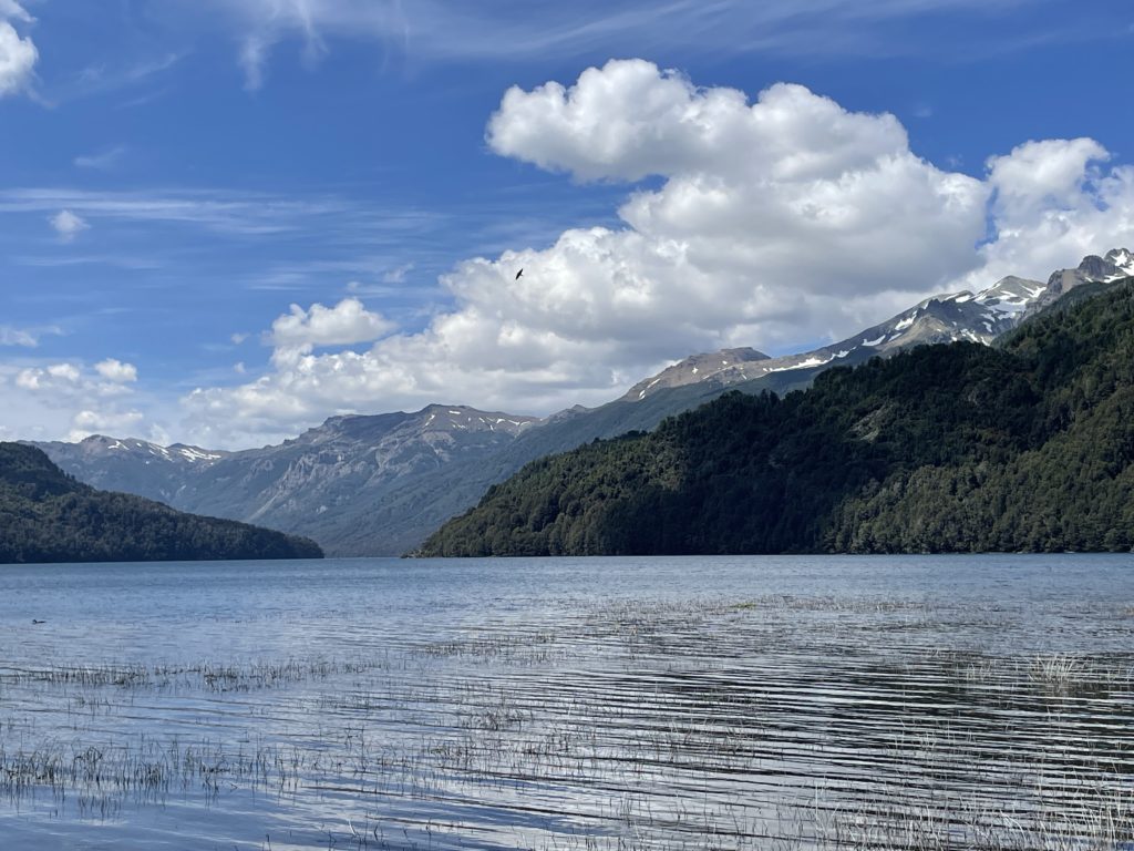
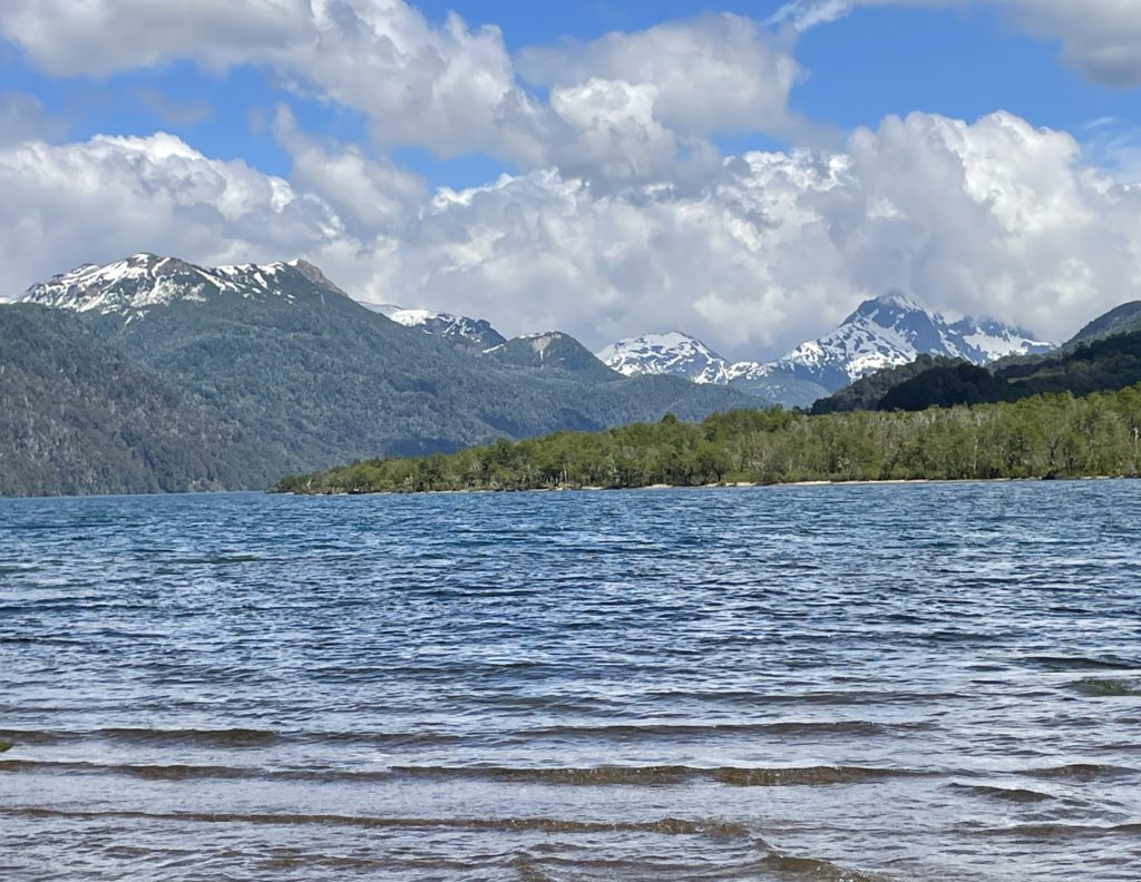
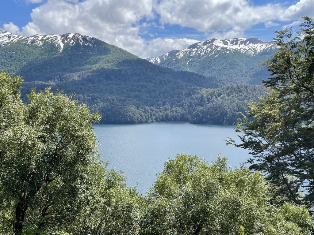
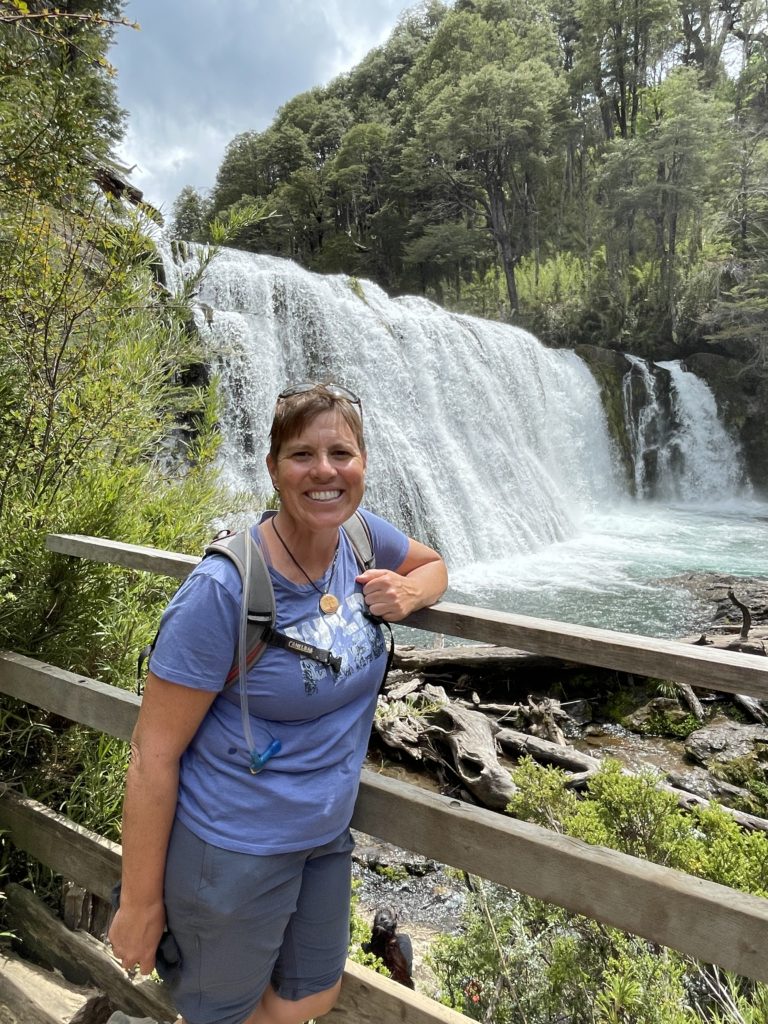
Here’s a photo essay of our day touring the “Ruta de Siete Lagos”, or “Route of Seven Lakes”. By including a couple side road destinations, we entered two National Parks, Parque Nacional Lanín and Parque Nacional Nahuel Huapi, and saw nine different lakes in all.
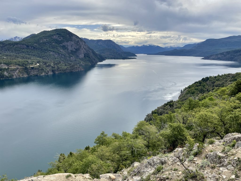
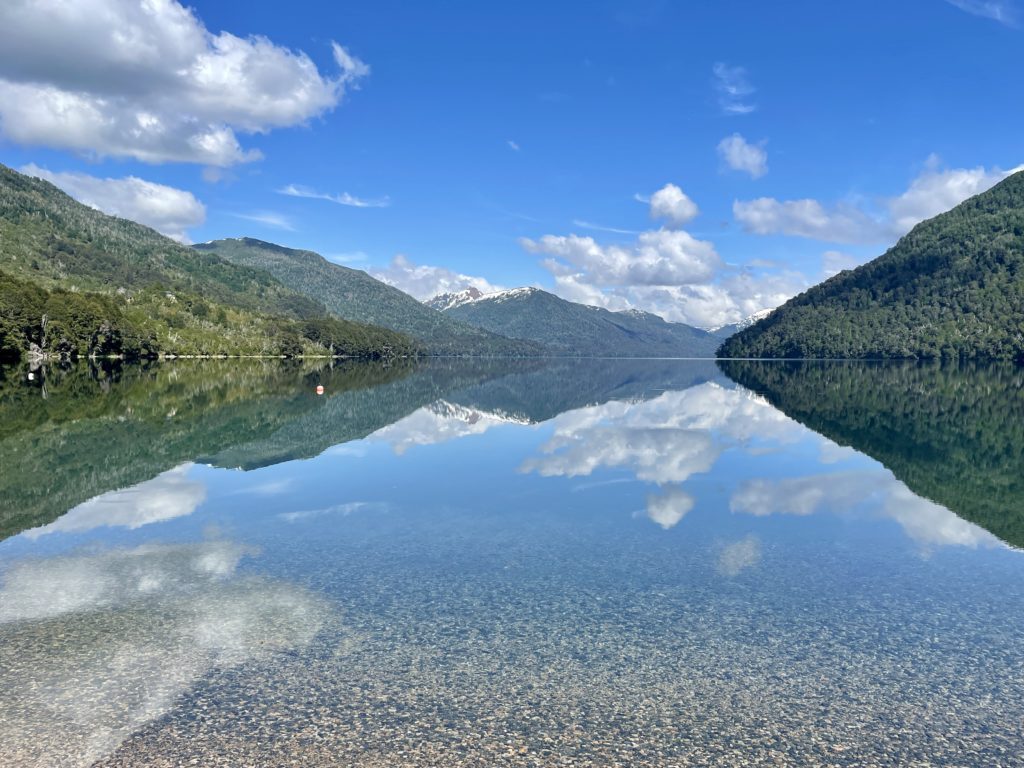


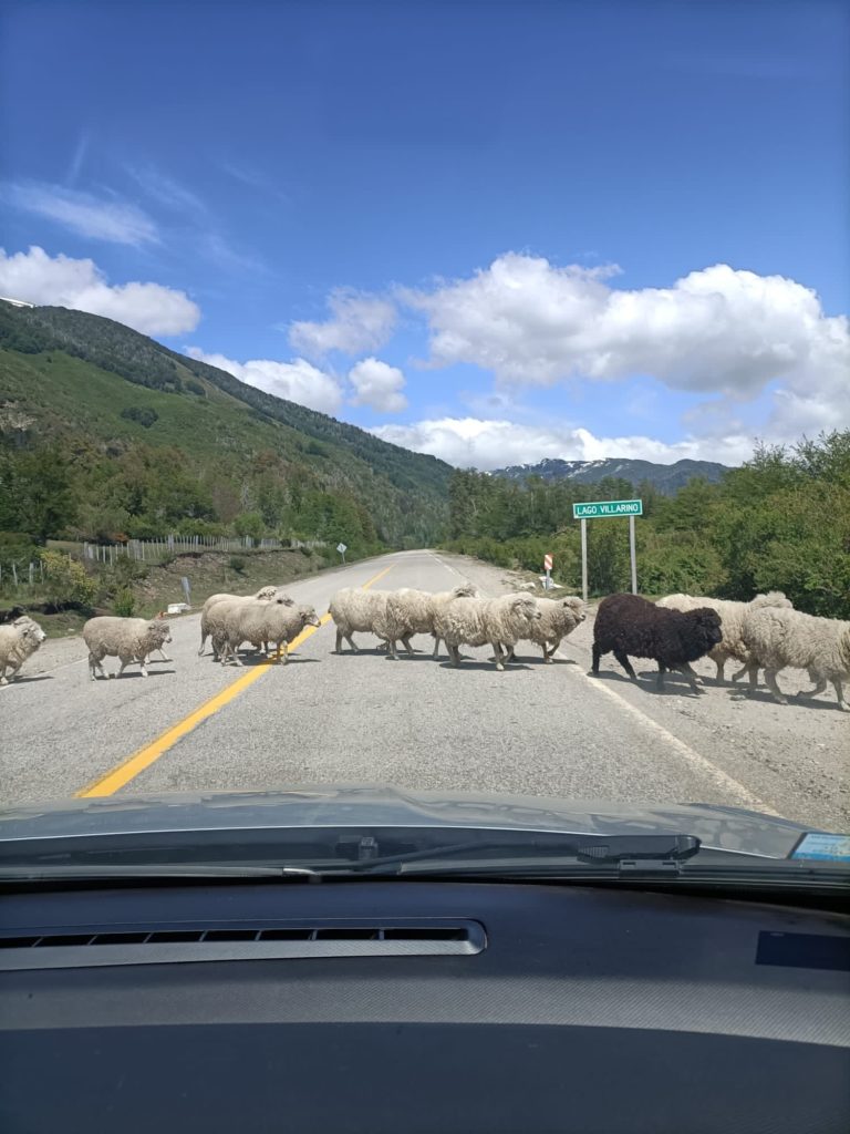
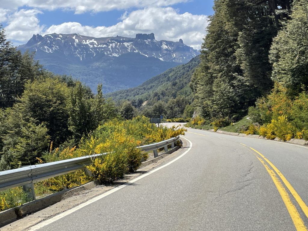
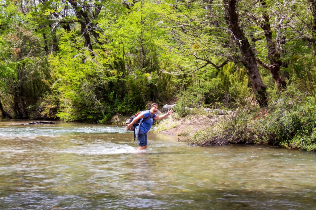
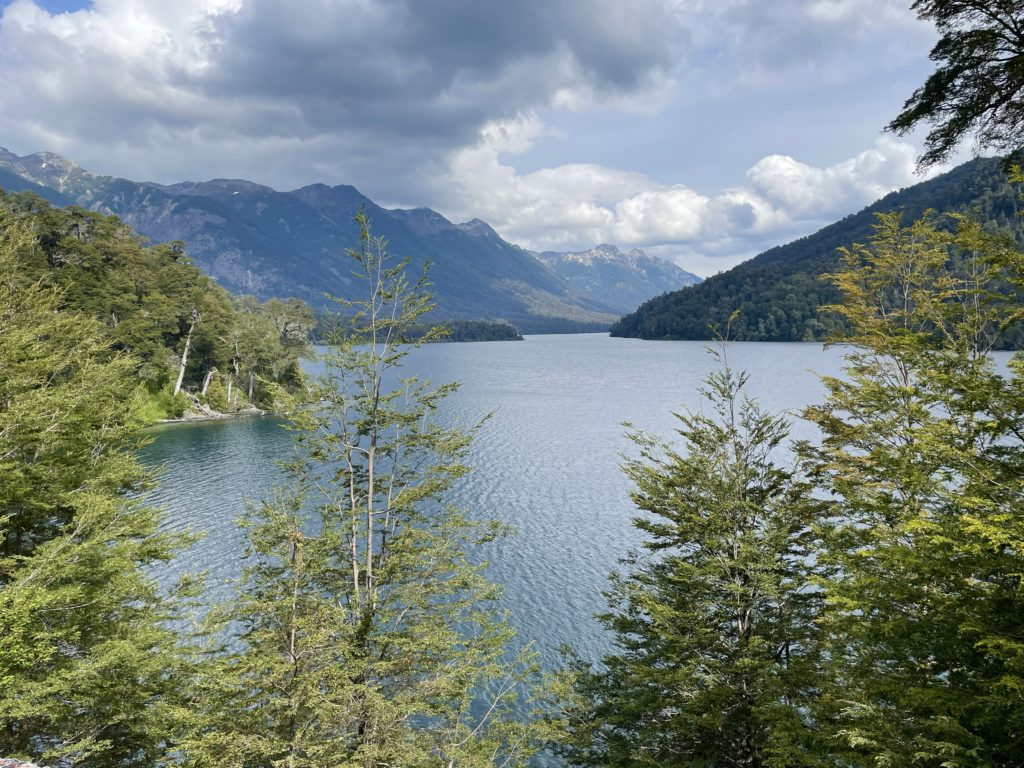
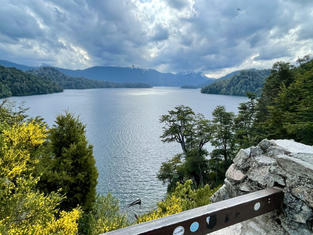
This Ruta de Siete Lagos is also part of the infamous Route 40, which travels the length of Argentina from its northern border with Bolivia to its very southern tip in the town of Ushuaia. Because Patagonia is remote, and there’s not a lot of car traffic, animals take the right-of-way, especially the domesticated sheep and cattle.
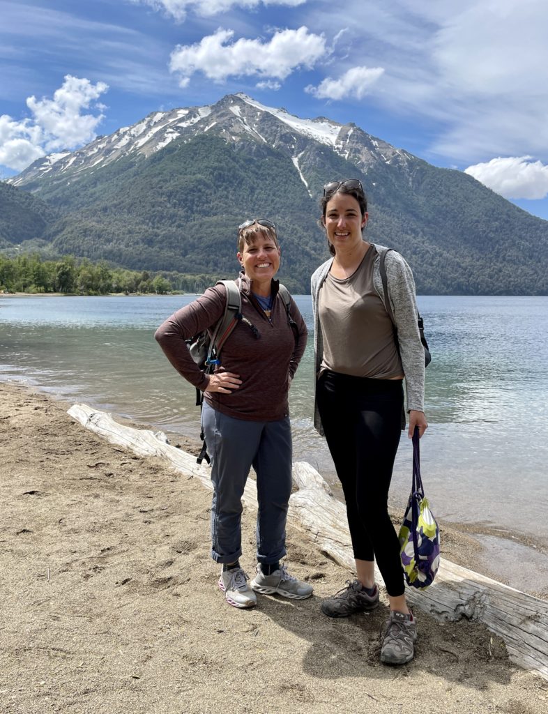
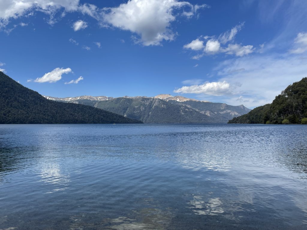
Since we both had plans to spend more time in the Lakes Region, we saved the largest lake to explore later on our own. Lago Nahuel Huapi (“Na-whel Whapi”), and its seven branches, cover over 215 square miles and is 464 meters deep. It serves as the centerpiece of Argentina’s first National Park, by the same name, established in 1922.
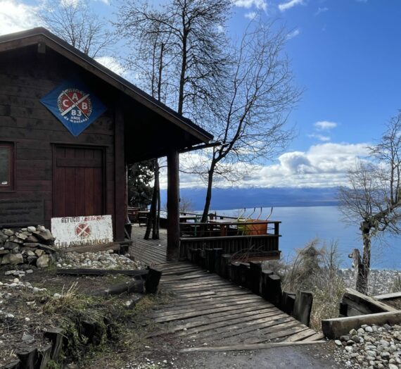
In the following weeks, as I climbed high into the hills around the cities of Bariloche and Villa Angostura, I was able to appreciate some beautiful views of Lago (lake) Nahuel Huapi, as well as the beautiful Cordillera or Andes Mountains.


As I’ve said before, the Lakes Region of Argentina closely borders Chile. For years, this caused a conflict between the two nations because they couldn’t decide where to establish the border. Originally, as I understand it, Chile wanted to designate the border based on which direction the water flowed from the lakes. Some of the lakes drain into rivers that flow across Argentina into the Atlantic Ocean. But other lakes drain into rivers that flow over low passes into Chile, ultimately destined for the Pacific Ocean. This argument went on for awhile, until an Argentinian cartographer, Francisco Pascacio Moreno, dammed a river to prove that water direction can be changed. He established at the turn of the last century that the border between the two countries should be set as a line across the mountain peaks. And that’s the way it has been ever since.
Today, Lago Nahuel Huapi is a mecca for vacation homes and tourism. But long ago, this lake and a series of low elevation passes connecting to other lakes, formed an historic and important trade route over the mountains from Chile. Merchants would bring wool and leather from the Chilean side and travel for three days by boat and horse pack into Argentina’s Lakes Region. Then, they would continue down a river, crossing Argentina to the Atlantic Ocean. From there, they would send their wares to be sold in Europe. This trade route lasted for many decades, until the construction of the Panama Canal made it obsolete. Now, “El Cruce de los Andes”, or “Crossing of the Andes” is a route for tourists to take between the countries… like me!


I’m so lucky to have been able to play and work in this beautiful place!
Su
Wow, so beautiful! Glad you made it to Patagonia!!!
Tracey
Wow! What an adventure driving with a new friend and a stick shift in a foreign country! Your photos are fantastic!
Stephanie Sanford
So this is what the Lakes Region looks like, unforgettable! Merry Christmas and Happy New Year from up here in rain country! Love, Steph
Chris
What a beautiful area! Happy new year!
Gail Lingo
So happy for your beautiful memories. Makes me want an old stick car & have your courage to just take off on a unique solo trip👍